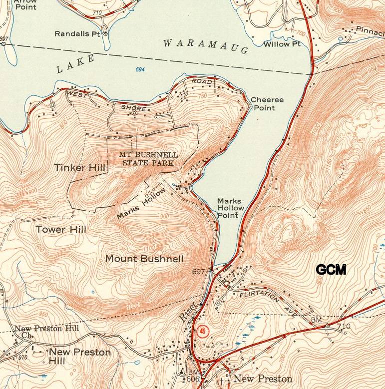
MOUNT BUSHNELL STATE PARK
From a book..1935 Connecticut Guide...
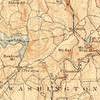
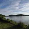
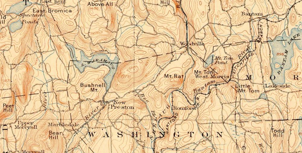
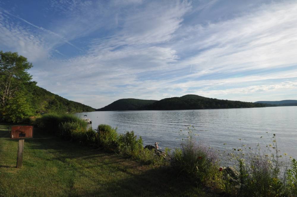
....Entering the town from Warren, R. 45, with the connecting Lake Rd., encircles Lake Waramaug, one of the most beautiful in the State.
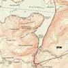
The State Park lies at the head of the Lake, in the town of Kent. There is another State Park on Mt. Bushnell, to the south, with a fine view of the lake from the lower slopes.
About 1/2 mile from the south end of the lake is the attractive Tinker Hill Gorge. Another fine viewpoint is Pinnacle Rock to the east, reached by a path (Pinnacle Trail) from R. 45. .......
For Pinnacle Trail Page Click Here
As of 2007 'another park' the State seems not want to admit it exists. You judge ways to get there by maps on this page. I'm not including a map of lower Tower Hill Road. The map is broken and the road hits the major highway very little off the map shown here.
Rumor is a group of senior citizens were found with a six-pack of beer in the Park and the Park was closed forever.