Dark Entry Ravine-Coltsfoot Mountain-Baldwin Caves


it's dark here


The Dark Entry Trail was a separate hiking trail way back in time. 1930's..1920's...? It by reference was a 'blue blazed hiking trail' in the 1930's prior to when the Appalachian Trail even existed. In modern times it was part of the Appalachian Trail (More confusion here. The Appalachian Trail did follow Bonney Brook down to US Rt 7 leaving Dark Entry Road. This change a couple decades ago ? Dark Entry Road is simply an ancient abandoned 'wood road' except the first section down by Cornwall Bridge. By memory it was passable perhaps by a 4 wheel drive vehicle into the 1960's but as of late 1900's NO. It junctioned with Dudleytown Road. Another interesting thing is there is no evidence these old TOWN ROADS were ever surrendered by the Town of Cornwall as the Dark Entry Forest Association would pretend. A decade or so ago when the Appalachian Trail was re-routed and the old trail (possibly not 'exact' route) is now known as the Mohawk Trail.

Follow this ? In brief the Dark Entry Trail existed prior to any Appalachian Trail. Its exact route is unknown except it is presumed to have followed the old wood road -- Dark Entry Road --

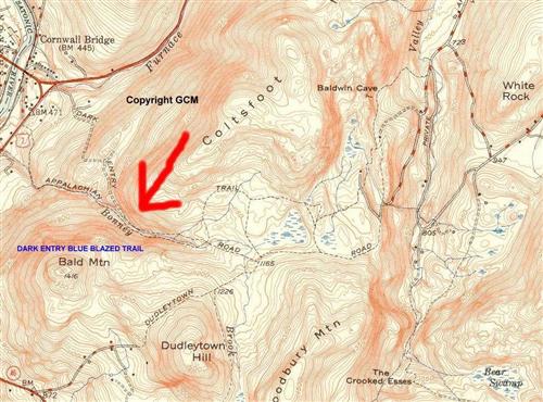
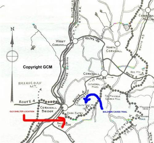
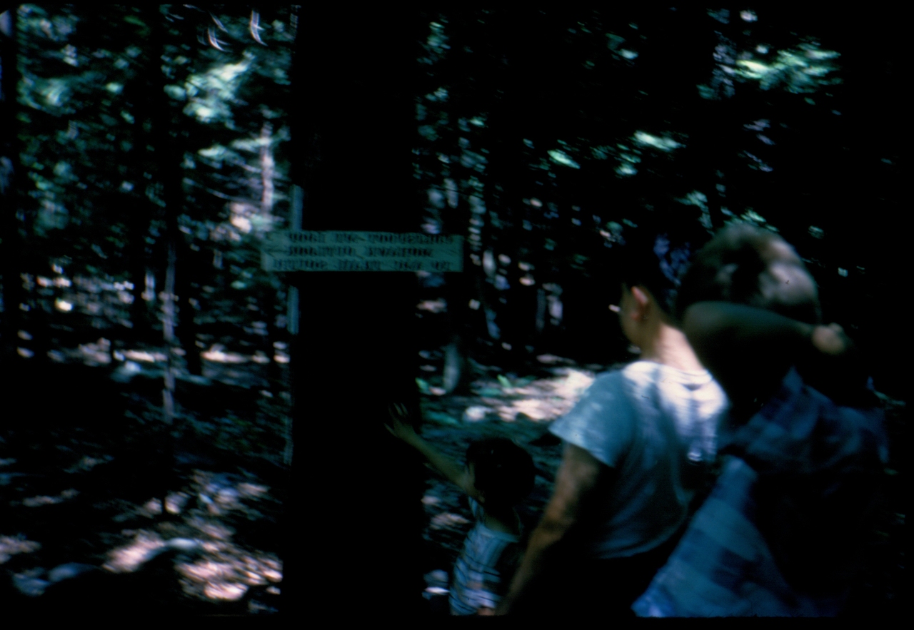
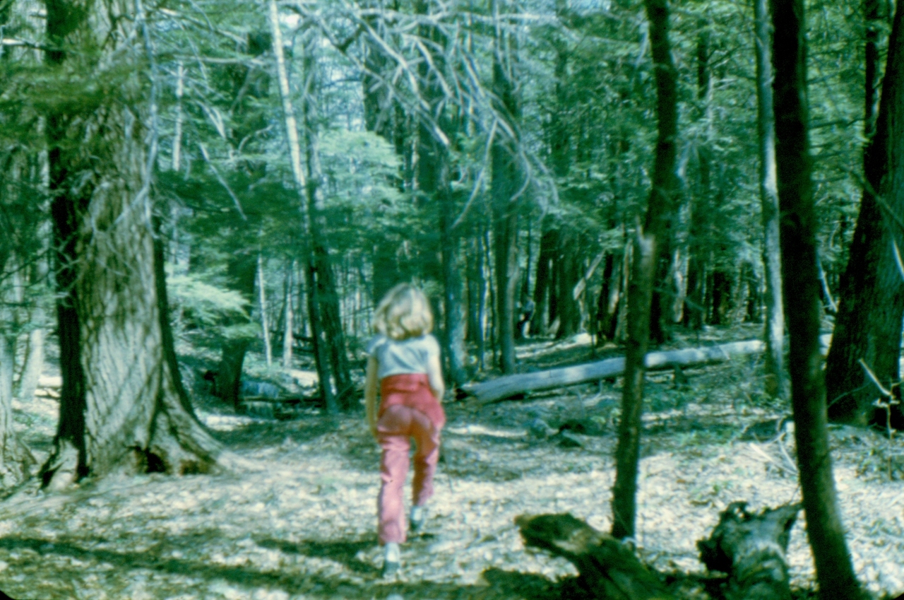
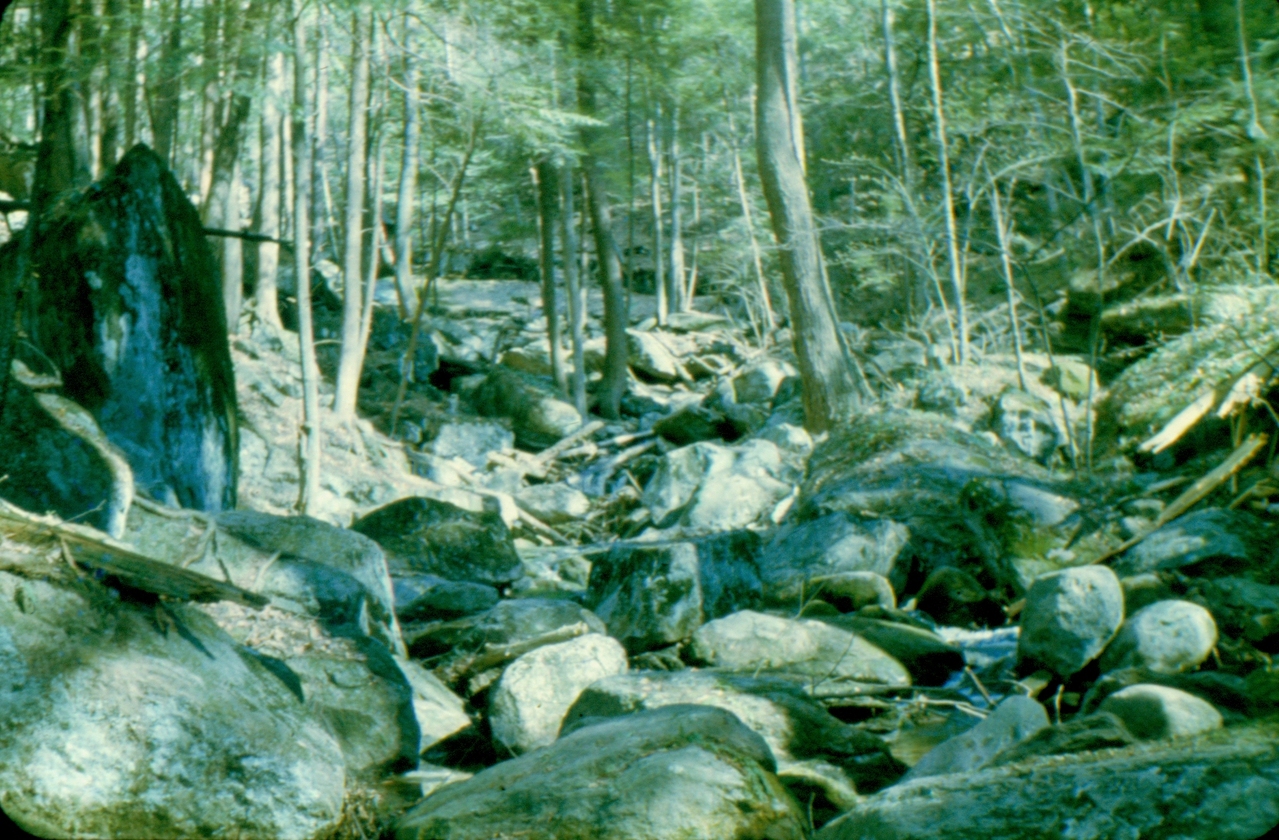
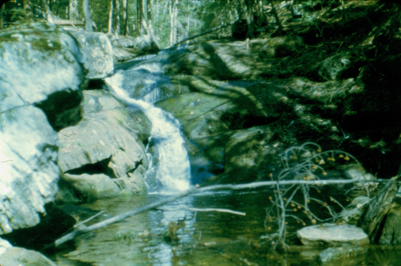
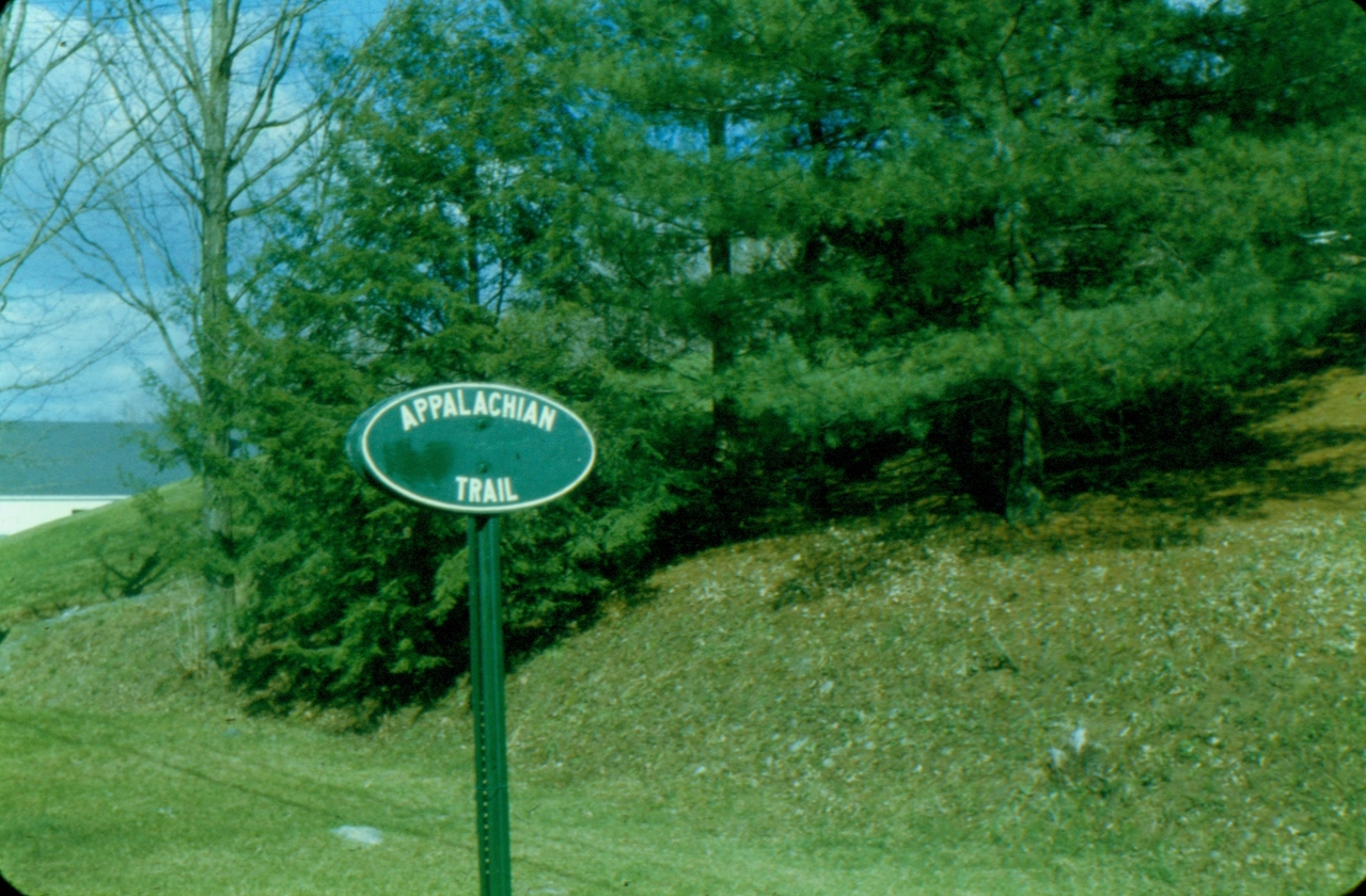
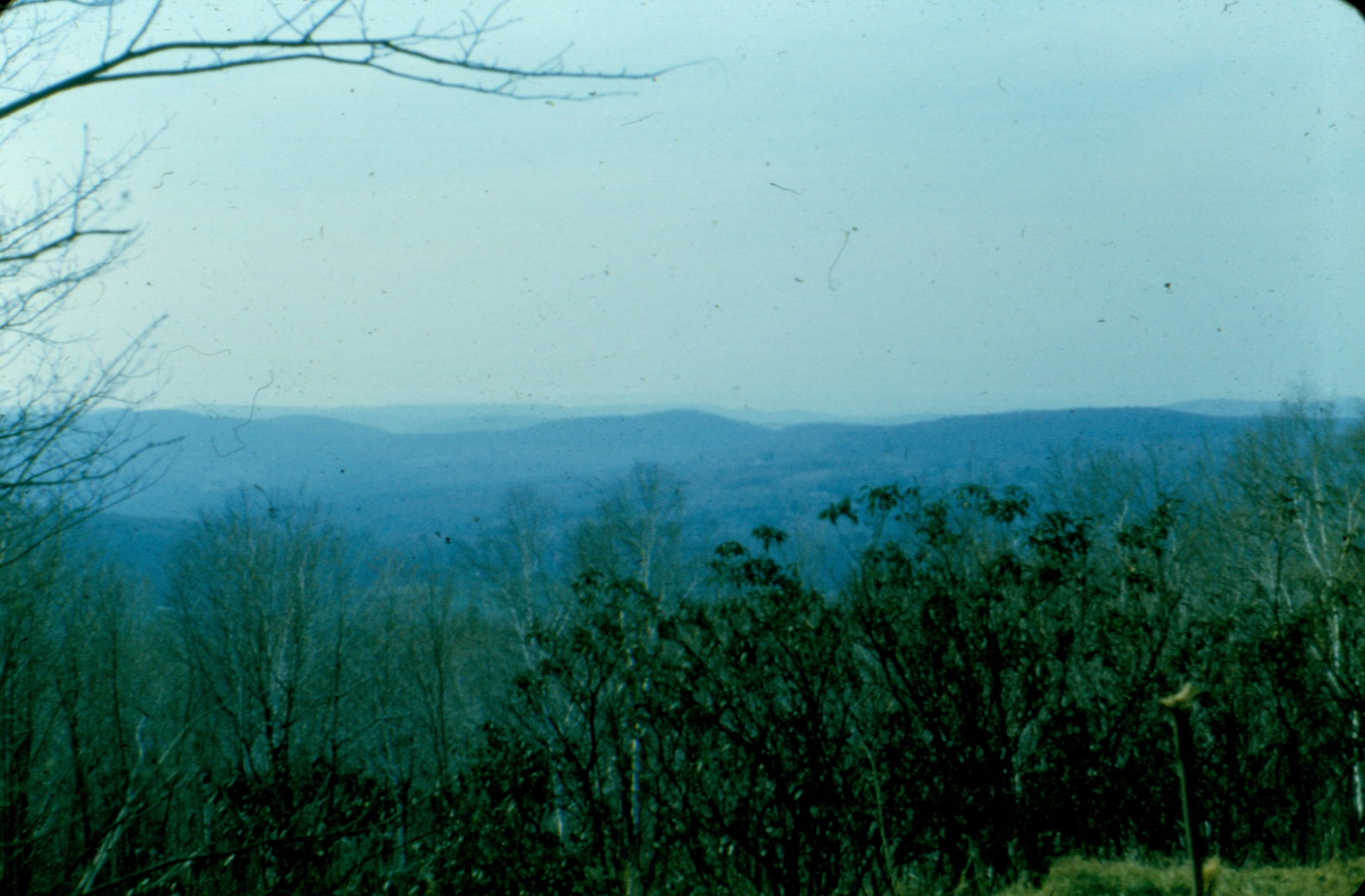
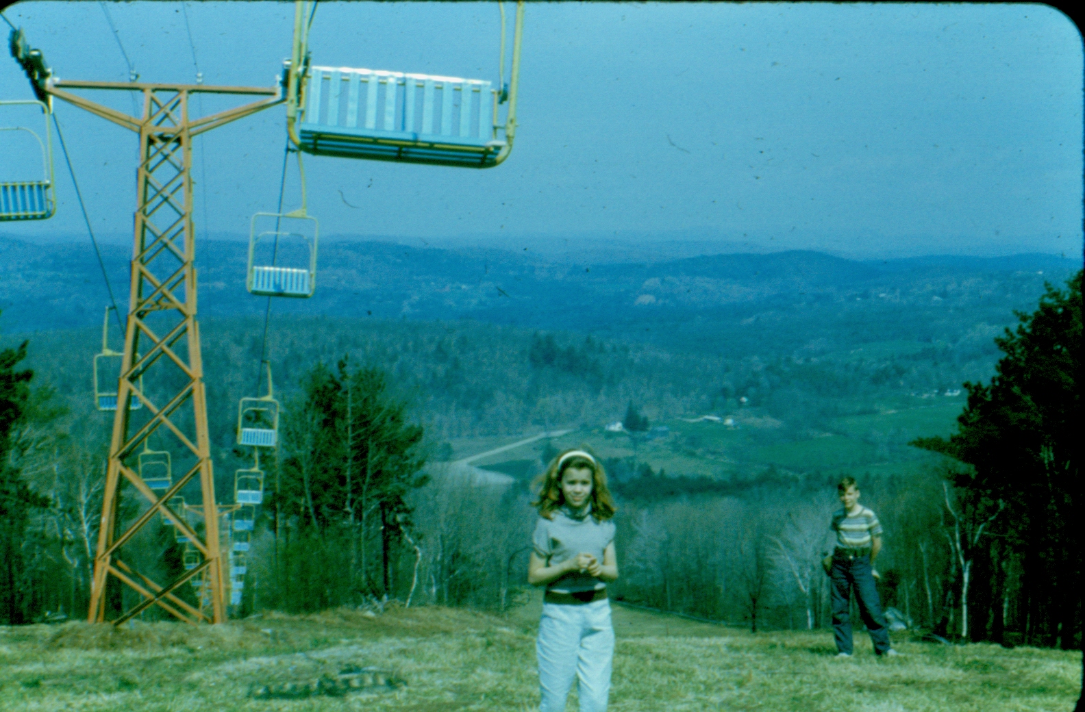
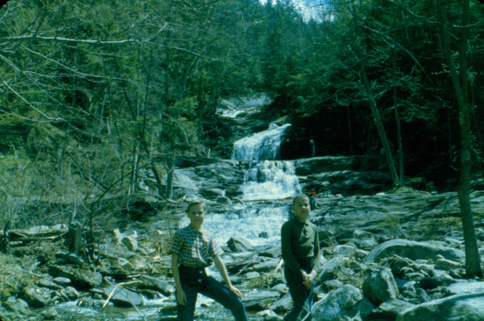
The Appalachian Trail was routed via this area in late 1900's. Its route changed one time to follow Dark Entry Road out of Cornwall Bridge vs. going down along Bonney Brook to US RT. 7. TODAY all is gone except the Mohawk Trail..a blue blazed trail...follows the old Appalachian Trail route. The Mohawk Trail has to be referenced elsewhere as that has been re-routed of recent eras to 'get off Dark Entry Forest Association property'.


click for larger image click for larger image click for larger image click for larger image click for larger image


Please also refer to the page on Dark Entry under 'hiking trails'. Up on Coltsfoot Mountain there was by ancient history a place known as Baldwin Caves. It is a total mystery in 2010. Rumor is the landowner 'blew them up' to avoid liabilities. There was a side trail from the Appalachian Trail to the location but that trail is gone (total re-location) and the trail that replaced the old Appalachian is the blue-blazed Mohawk Trail and that has been re-located to avoid property owned by the Dark Entry Forest Association. Maybe a GPS could possibly find the old location ? The land in the area is terrible to explore. Giant boulders, rocks, cliffs, etc.


  1. My sister at entrance to Baldwin Caves, 1960's
  2. Old sign noting Baldwin Caves and trail
  3. Old Trail Shelter at Campsite #10 in 1960's...in infamous Dudleytown area...I stayed overnight !!!!
  4. Me and my brother 1960's at Baldwin Caves
  5. My brother 1960's at Baldwin Caves
  6. Coltsfoot Mountain area..Cave ??
  7. Coltsfoot Mountain area..Cave ??
  8. Coltsfoot Mountain area..Cave ??
  9. Coltsfoot Mountain area..Cave ??
  10. Coltsfoot Mountain area..Cave ??
  11. Bonnie Brook
  12. Bonnie Brook
  13. Coltsfoot Mountain area..old trail sign..poor..
  14. The shelter on Mohawk Mountain..I think..1960's
  15. Coltsfoot Mountain area..Appalachian Trail..my sister..1960's
  16. Bonnie Brook..me and my sister 1960's..
  17. View of Coltsfoot Mountain from Mohawk Montain
  18. Appalachian Trail and my sister 1960's..
  19. Bonnie Brook
  20. Bonnie Brook
  21. Appalachian Trail at Cornwall Bridge
  22. View from Mohawk Mountain
  23. Mohawk Mountain Ski Area..me and my sister 1960's
  24. Road up Mohawk Mountain..my sister and brother and me 1960's
  25. Coltsfoot Mountain area
  26. Bonnie Brook...me and ?? 1960's
  27. ..along Dudleytown Road 1960's...


We found some old 1960's pictures !!!! Probably UNIQUE !!!!!!! Before we tossed some old slides I by chance found some old pictures of Coltsfoot Mountain area. I assume none exist elsewhere. (Baldwin Caves Trail, etc. I think 'the caves' were destroyed by a property owner for liability reasons. Being old slides lends to reproduction quality problems so please excuse !!.


Some comments from others historically...


I grew up near by and visited Dudleytown many times as a kid . We used to go bottle digging around the cellar holes. I never experienced anything “paranormal” but will confirm the creepy silence there.I have hiked/backpacked all over and never found a wooded area quite like it.Occasionally the lone deer or Chickadee, but mostly dead silent ,devoid of life. The Appalachian Trail used to run near by but was re-routed decades ago..At the base of Dudleytown mountain ,near the old trail,is Baldwin Cave. You have to shimmy down a long tube that leads to a large room formed by glacial boulders.Probably the coolest cave in CT. Back in the 70’s,the local Cornwall kids used to have keg parties in Dudleytown and its legend used to draw devil worshipers and wackos performing animal sacrifices. The local,very wealthy,residents got fed up and closed the whole area down.Who can blame them.I wouldnt want those kind of people hanging around my neighborhood. The locals are constantly watching for tresspassers and you will definately get in trouble with the cops should you try to explore.


As far as Baldwin Cave goes, the entrance is a nondescript gap in some large boulders that allows you to crawl or hands-and-knees back into the hill some 30 feet to a spot where a few people can sit upright. I have not been there since the 70's, but you are correct that the trail re-locations have destroyed any chance of finding it the old way (signs and spur trail off the AT [now MT]). I doubt that even with a GPS, you'd find it, as even with the trail, the location was pretty obscure. There are also two caves there: Baldwin is located almost at the base of the rock pile (eastern edge) while up in the rocks themselves is another little hole named Coltsfoot Mountain Ice Cave, that keeps ice or snow in it well into the early summer.


Back when the Appalachian Trail went via here there was a side trail to Baldwin Caves but since the trail has been re-routed nobody seems to know where Baldwin Caves is anymore. (present Mohawk Trail not the same route)

The cave also goes by the name of Coltsfoot Mountain Cave. Here is some info that I found in a 1961 publication from my small collection of Conn caves : '... Altitude = 1100 feet. 0.4 mi from rt 125 on the Appalachian trail. The cave is a fissure type with massive breakdown. The single passage winds about for 80 feet to the end, where daylight enters. The ceiling varies from 2 to 10 feet." I believe your best source for the location and directions are old trail guidebooks. The Appalachian trail guidebooks had (I think) the directions from the (now abandoned) trail, and the books came with maps. The old editions of the Conn walk book, or Gerry and Sue Hardy's books, may also have info on the cave. Note that I'm not saying to use these resources to find the cave, as I don't know if the cave and access routes are open to the public. That's for you to research. I remember the "dark entry" area as very scenic, and had done a lot of hiking there in the distant past. Yes, it would be great if this area was open to the public and if you find that it is open or how to get permission, please let me know.


From old Appalachian Trail descriptions late 1930's.


click for larger imageclick for larger imageclick for larger imageclick for larger imageclick for larger imageclick for larger imageclick for larger image